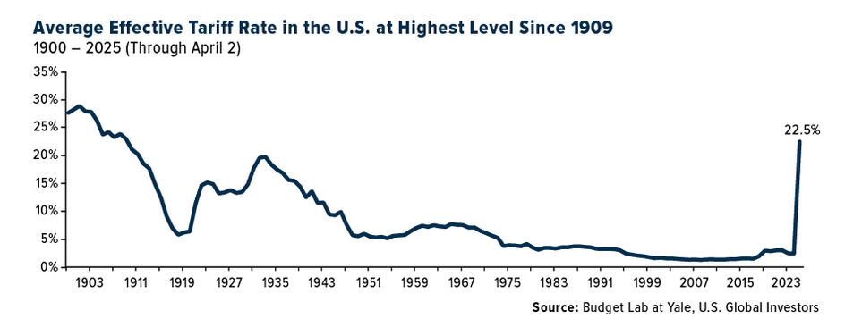
The current US map looks like this:
Click to enlarge
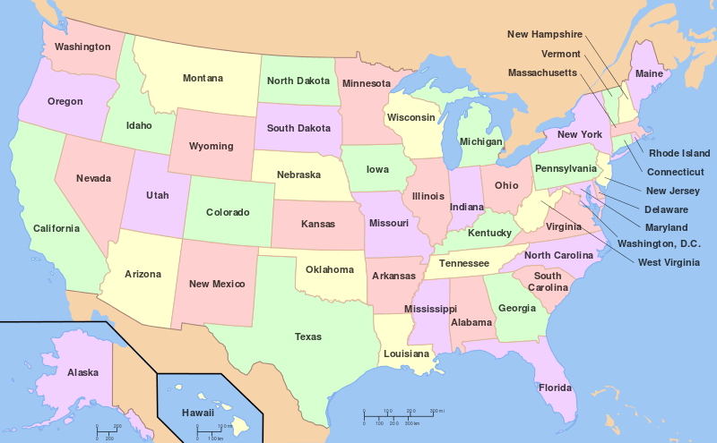
Source: Wikipedia
But back in the 1800s the country looked much different. All the states were not yet formed and many were simply grouped as territories. For example, the middle of the country had the “Indian Territory”.
The following is a cool map of the USA from 1839:
Click to enlarge
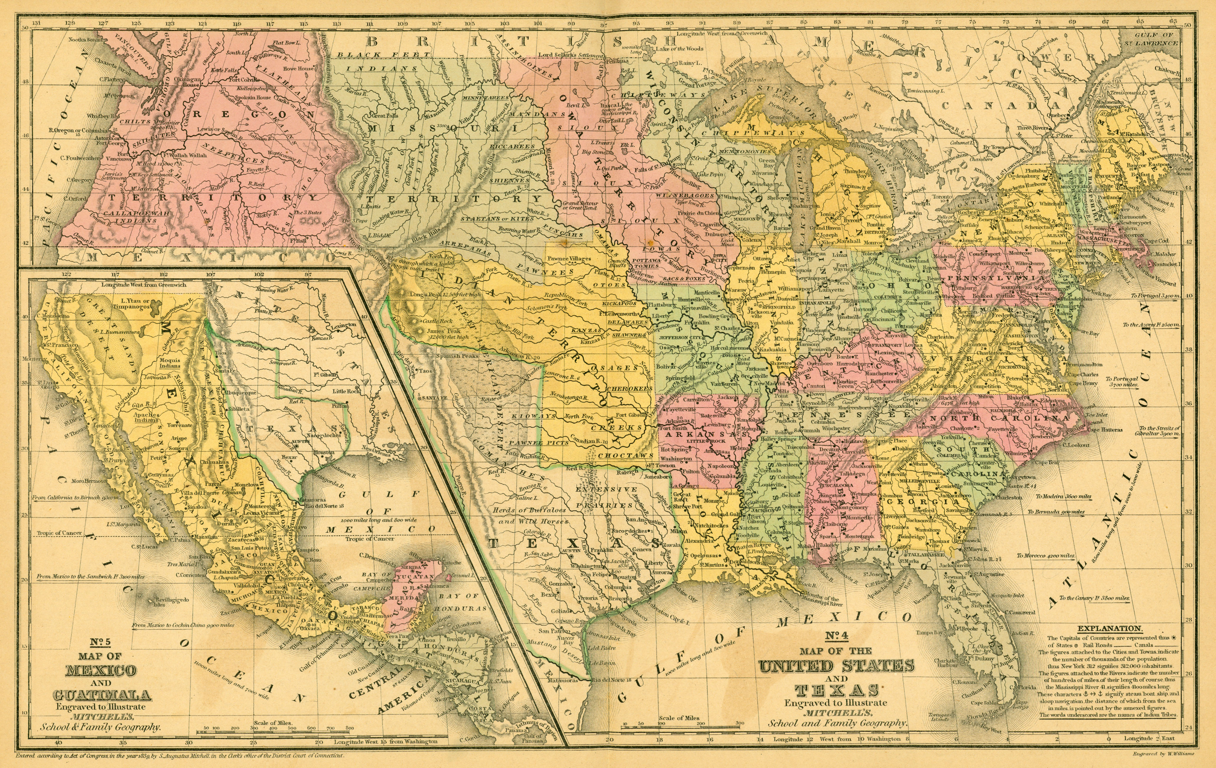
Source: University of Texas Libraries via Daily Infographics